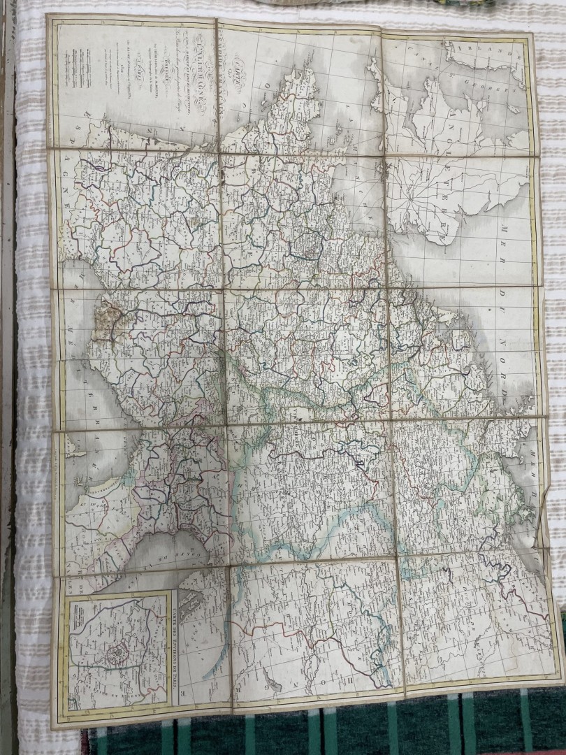
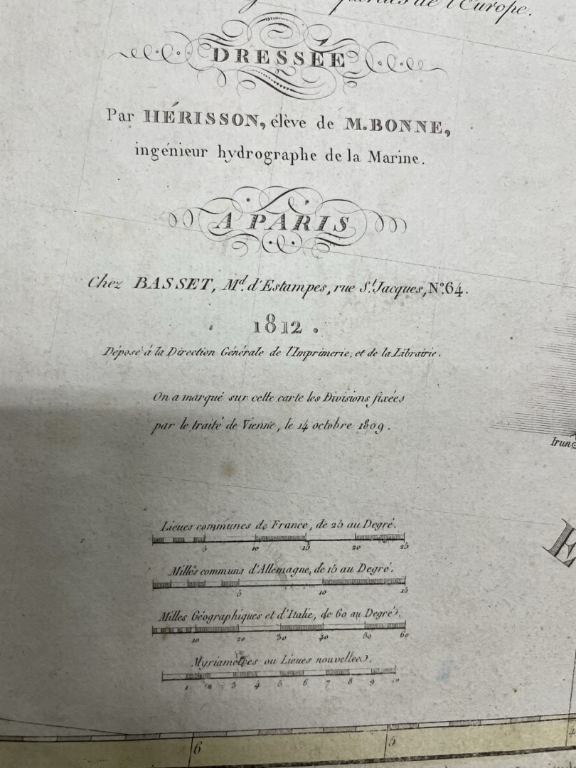
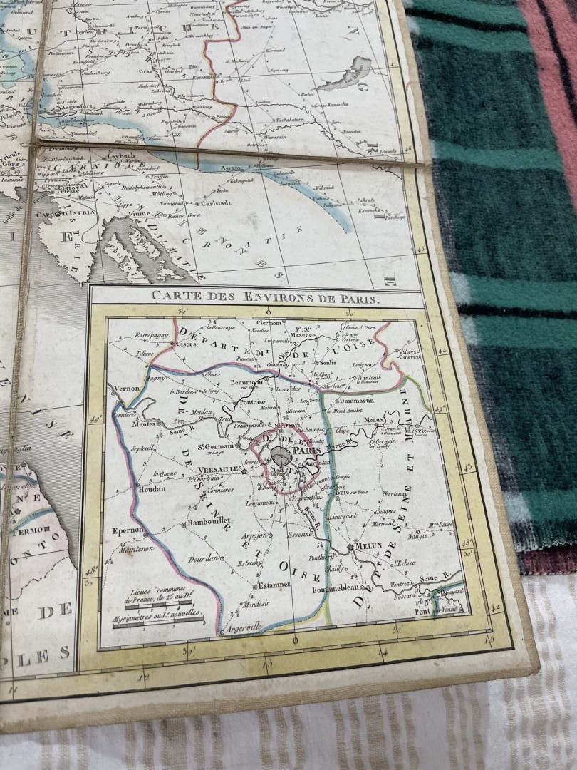
Antique Map Carte L’empire Francais 1812 0.3Kg 104Cmx77Cm (Wxlxh)
600.00€
This antique map, produced in 1812, provides a detailed depiction of the vast territories comprising the French Empire during the height of Napoleon Bonaparte’s rule. The map showcases the extent of French influence across Europe and beyond
This antique map, produced in 1812, provides a detailed depiction of the vast territories comprising the French Empire during the height of Napoleon Bonaparte’s rule. The map showcases the extent of French influence across Europe and beyond, including regions such as France itself, the Italian Peninsula, parts of Germany, the Iberian Peninsula, and various territories in the Caribbean and Africa. It delineates borders, major cities, rivers, and other geographical features, offering a historical snapshot of the geopolitical landscape of the early 19th century. Rich in historical significance, this map serves as a valuable resource for scholars, collectors, and enthusiasts interested in the history of France and the Napoleonic era.Similar Products


